COPY
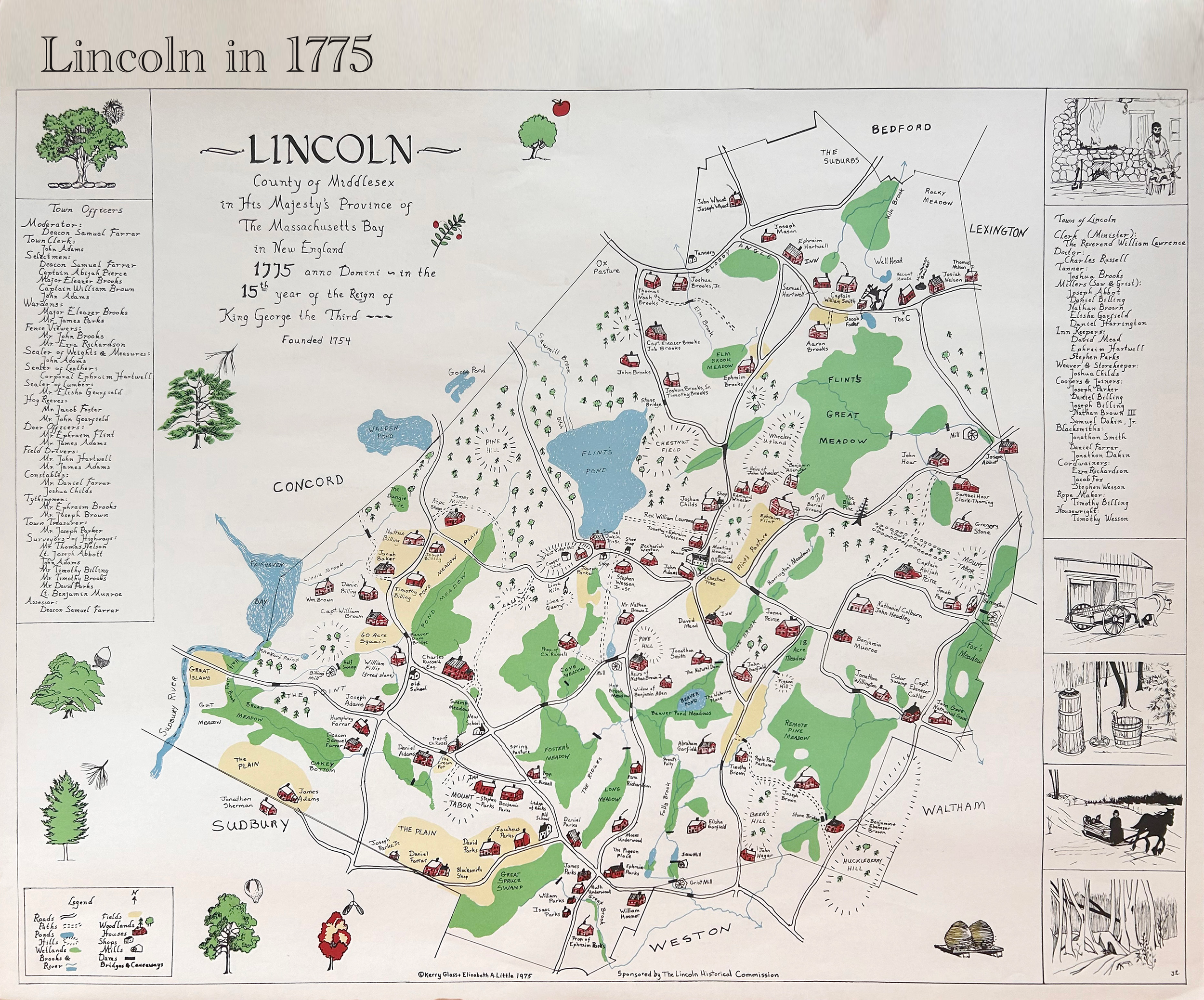
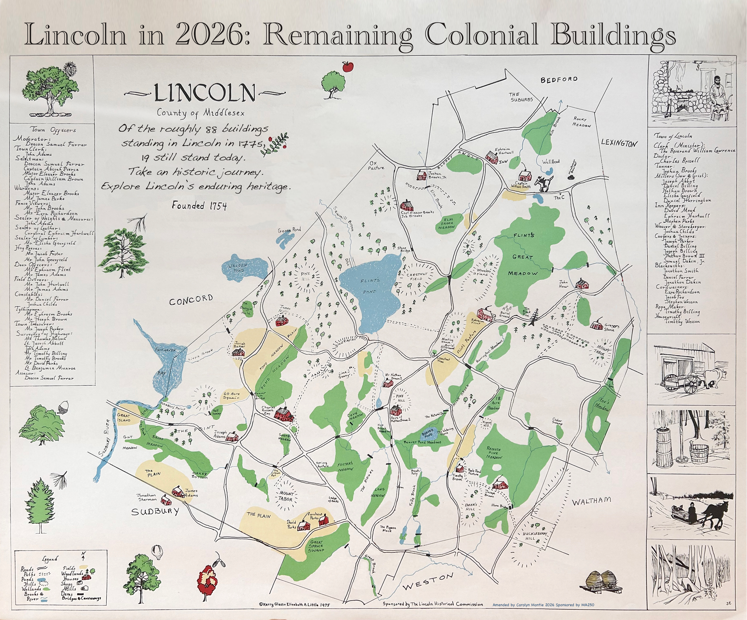
Compare the built environment of Lincoln in 1775 to what remains today
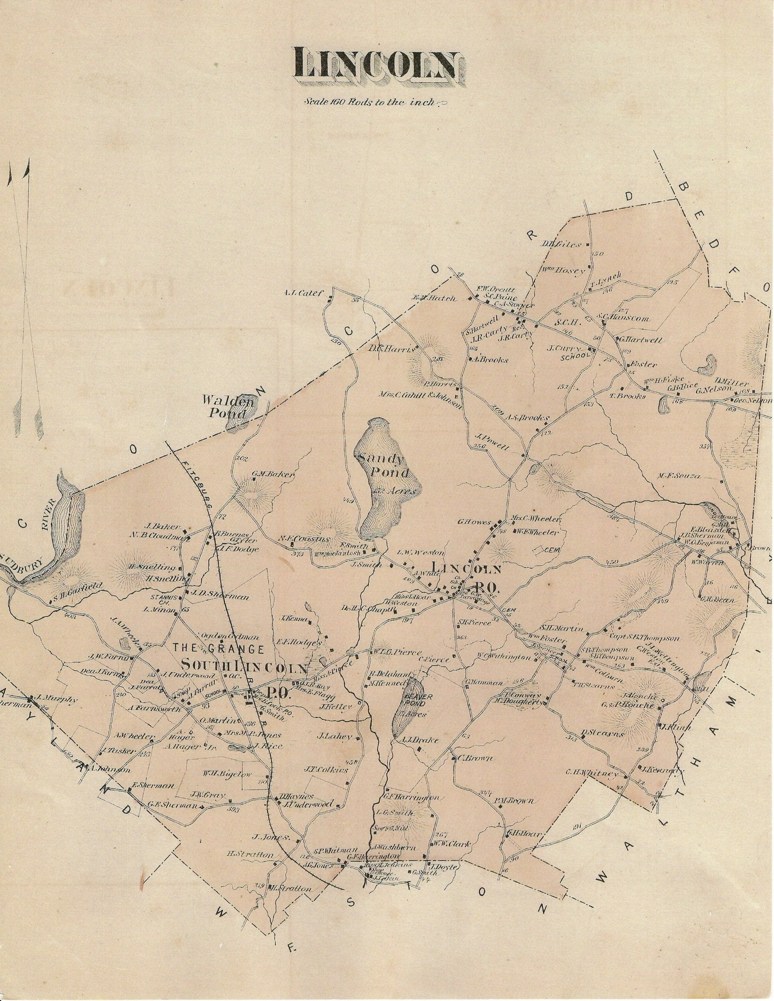
The Glass-Little Map
In 1975, after eight years of meticulous research, Elizabeth Little and Kerry Glass drafted a map that traces the early development of the town and its roadways. Originally created with the support of the Historical Commission in anticipation of the 200th anniversary of April 19, 1775, the full-sized map now hangs in the Lincoln Town Offices.
Many of the Witness Houses and landmarks shown on the map still stand today, offering a fascinating glimpse into Lincoln’s past. In 2026, The Glass-Little Map was amended to be interactive, showing what’s lasted the test of time.
Can you guess how many homes there were in Lincoln in 1775 and how many of them remain standing today?
The Lincoln Witness House Project was made possible in part by a generous grant from the Massachusetts Office of Travel and Tourism.
